 Nice Drives
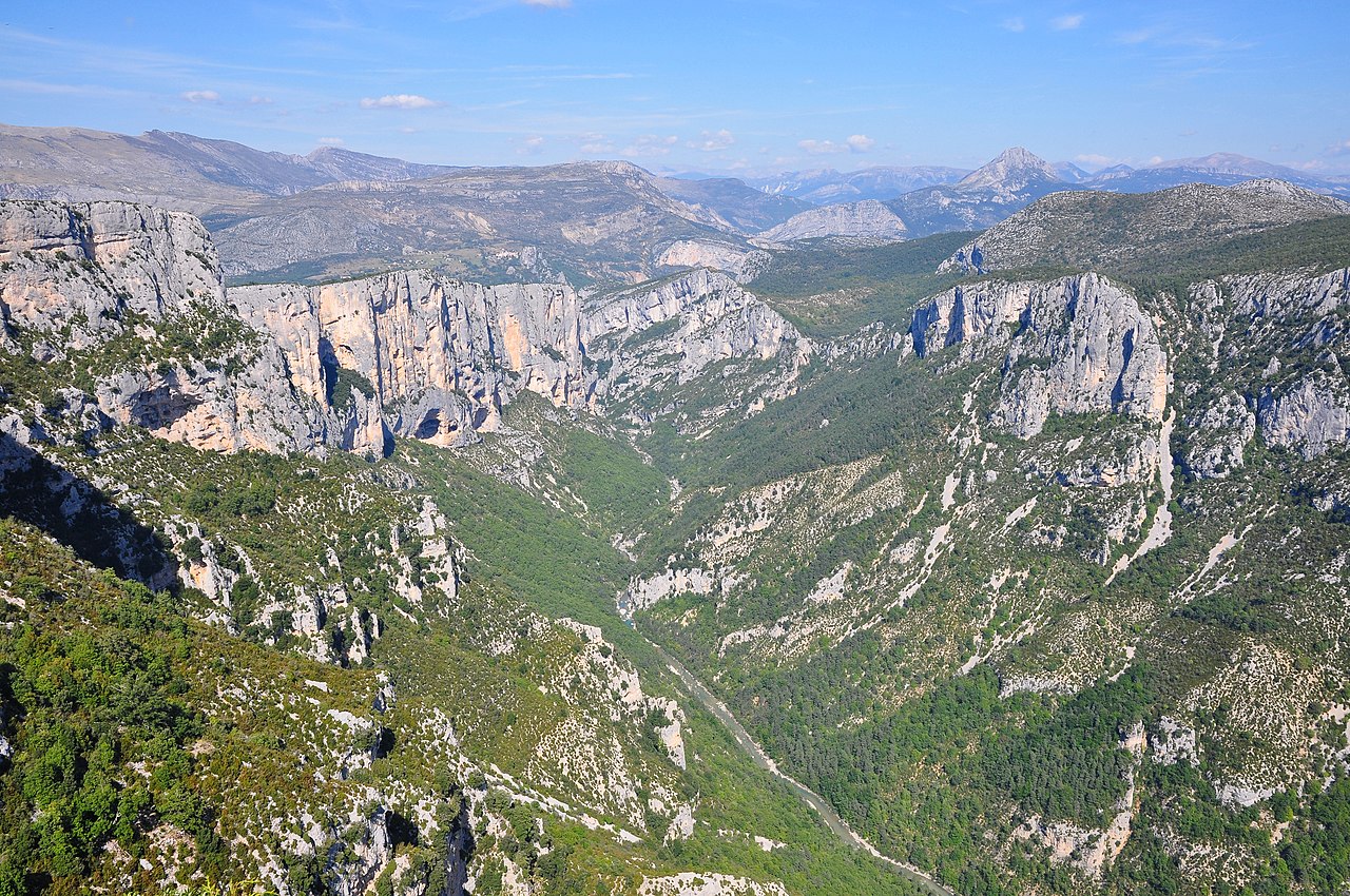
Photo by Tobi 87, CC BY-SA 3.0, via Wikimedia Commons.
Route des Gorges du Verdon
📍 Provence-Alpes-Côte d'Azur, France
Mountain Passchallengingcanyoncliffsriverscenic
- Distance
- 45 km
- Est. duration
- 55 min
- Difficulty
- challenging
About this drive
The Gorges du Verdon in Provence is the largest canyon in Europe — the Verdon River has cut a canyon up to 700 metres deep through the Provençal limestone plateau, producing walls of white and grey rock above a river of extraordinary turquoise. The D952 and D71 form a circuit of the gorge from Castellane in the east to Moustiers-Sainte-Marie in the west, covering about 130 kilometres with the canyon visible at various levels throughout. The Corniche Sublime (D71) on the southern rim gives the most consistently dramatic views — pullouts overlooking the canyon appear every few kilometres, each one looking down into a different section of the gorge. The Point Sublime on the northern rim (D952) gives the widest and deepest view into the canyon, looking 700 metres straight down to the river. Between the two corniche roads, the gorge is inaccessible by vehicle; the river is navigable by kayak on the section between La Palud and the Lac de Sainte-Croix. Moustiers-Sainte-Marie, at the western end, is a medieval village built into the base of a cliff. The gorge is popular in July and August; late September is quieter with good weather and lower water levels that make the turquoise colour more concentrated. Allow at least a full day for the circuit — rushing the Verdon is a mistake.
Stops along the way
Point Sublime · Scenic Viewpoint
A famous viewpoint overlooking the gorge from its northern rim, reached via a short path from the road.